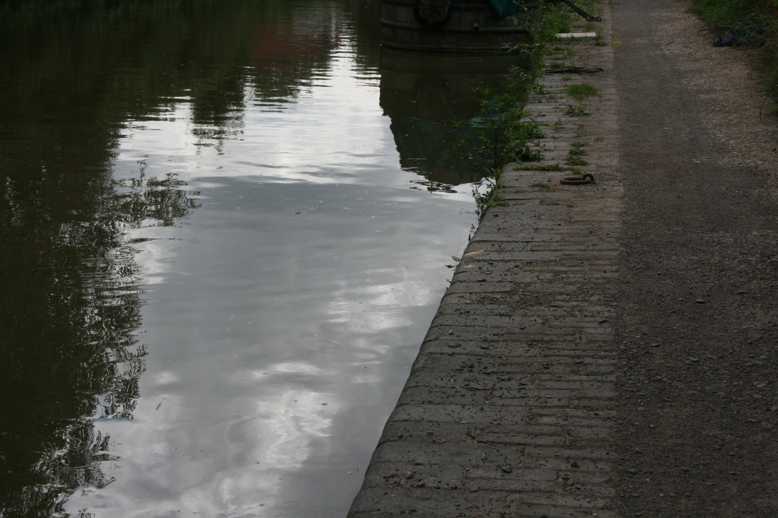
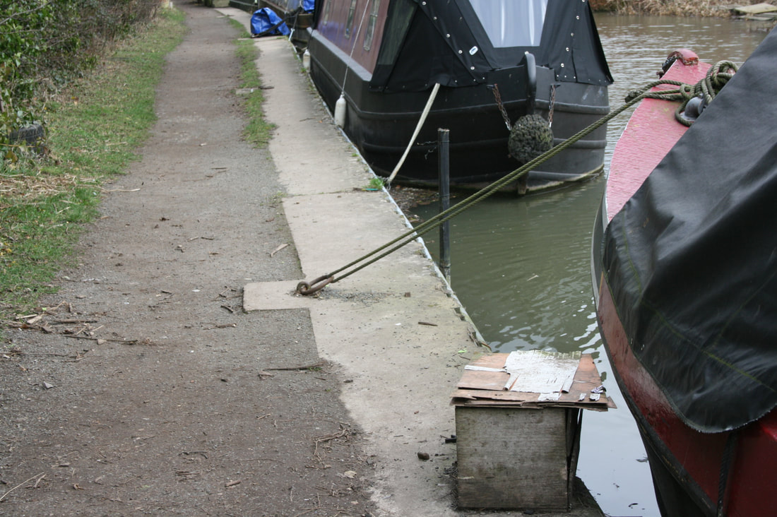
From the area in front of the canal-side cottages, an extensive stretch of moorings extends southwards. The tow-path and nearside canal edge have been replaced and upgraded in recent years to service these moorings.
|
|
Modern tow-path surfacing and canal-side edging. Semi-permanent moorings.
The canal now enters an area with light industrial estates on both sides. Much of this area has seen industrial activity over an extended period, with a coal yard on the nearside, and variously a cattle market, railway sidings and a bacon factory on the far side.
We now approach the next bridge, Hendersons Bridge (224A), which links the two parts of the Langford Locks Industrial Estate, which sits astride the canal at this point.
After this open fields appear on the nearside and the industrial estate is mostly hidden from view behind dense hedging and trees.
We now pass a distance maker (DIS) on the near-side, telling us that we are approaching a lock.
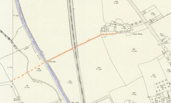
Just after this is the base of a now absent lift bridge (No 225). This has a typical appearance, with narrowing of the canal and a raised bridge approach with supporting brickwork and rubbing blocks.
This bridge originally linked Park Farm (now Cot's Green), with the fields to the west. Previously there had been a farm track from the farm extending at least as far as the line of the canal. Traces of this track are still visible within the later Lyne Road estate development.
Hidden in the undergrowth on the far side of the canal is a second world war pill box.
|
|
Base of lift bridge 225 Original farm track (in brown) from Park Farm, subsequently cut by the canal and then the railway.
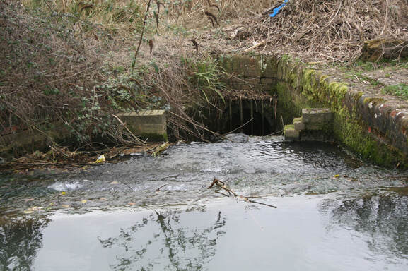
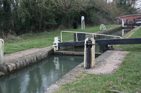
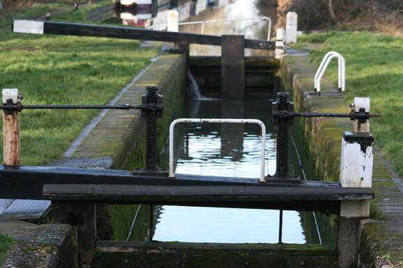
It is now just a short distance to Roundham Lock (No 42), which is a Grade II listed lock with a fall of 7 ft. 5 ins. Much of the surviving structure is 19th Century, with English bond brickwork, limestone ashlar coping and wooden lock gates with cast-iron winching runners. A spillway above the lock (far side), returns water to the canal via a culvert just below the lower lock gates.
Roundham Lock: Upper spillway
Roundham Lock: Upper ground paddles with cast-iron winching runners and stone supports.
Roundham Lock: Lower gate paddles with winching gear
and lock chamber.
Roundham Lock: Culvert below lower lock gate returning by-pass flow into the canal.
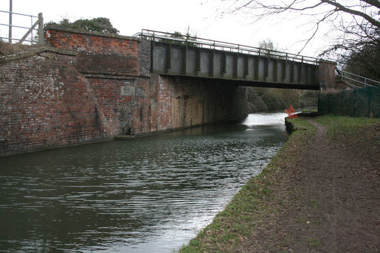
Immediately below Roundham lock is the next bridge, Roundham Crossing (No 226). This is a typical Brindley type bridge, brick built (with later repair) and some stone detailing. It originally carried Lyne Road, which then became Begbroke Lane and connected Kidlington to Begbroke. As such it was a significant through route, and warranted its own "hard" bridge.
Roundham Crossing (Bridge 226)
We have already seen a number of the money saving measures that were employed in an attempt to reduce the construction costs of the canal (using the river as part of the canal route, and the use of single lock gates). Now we can see evidence of another one.
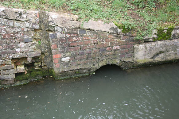
A few yards beyond Roundham crossing, on the right hand side of the tow path is a brick built culvert which extends under the tow path and into the canal. This culvert carries part of the Rowel Brook into the canal (the remainder enters the canal a few hundred yards further on). The bed of the brook was used as part of the canal route, which allowed for a more direct route and thus reduced costs.
A few yards beyond Roundham crossing, on the right hand side of the tow path is a brick built culvert which extends under the tow path and into the canal. This culvert carries part of the Rowel Brook into the canal (the remainder enters the canal a few hundred yards further on). The bed of the brook was used as part of the canal route, which allowed for a more direct route and thus reduced costs.
Culvert taking part of the Rowel Brook into the canal.
The brickwork appears to be at least 19th Century and might be contemporary with the canal building (late 18th Century)
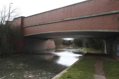
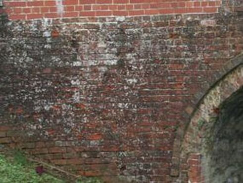
We now approach bridge 226A which carries what would have been the GWR railway line from Oxford to Birmingham.
This is a brick built late 19th or early 20th century bridge with extended wing walls supporting the railway embankment and a steel deck.
After this, there is an extended area of late 20th century residential development on the far side of the canal. Much of this extends right up to the canal edge, thus detracting from the canal setting.
.
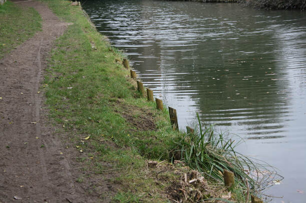
Along this section the canal edge has been reinforced with wooden stakes. This is a more environmentally friendly approach than concrete or steel supports, and is certainly more visually acceptable.
Along this section the canal edge has been reinforced with wooden stakes. This is a more environmentally friendly approach than concrete or steel supports, and is certainly more visually acceptable.
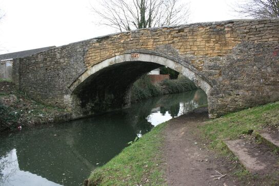
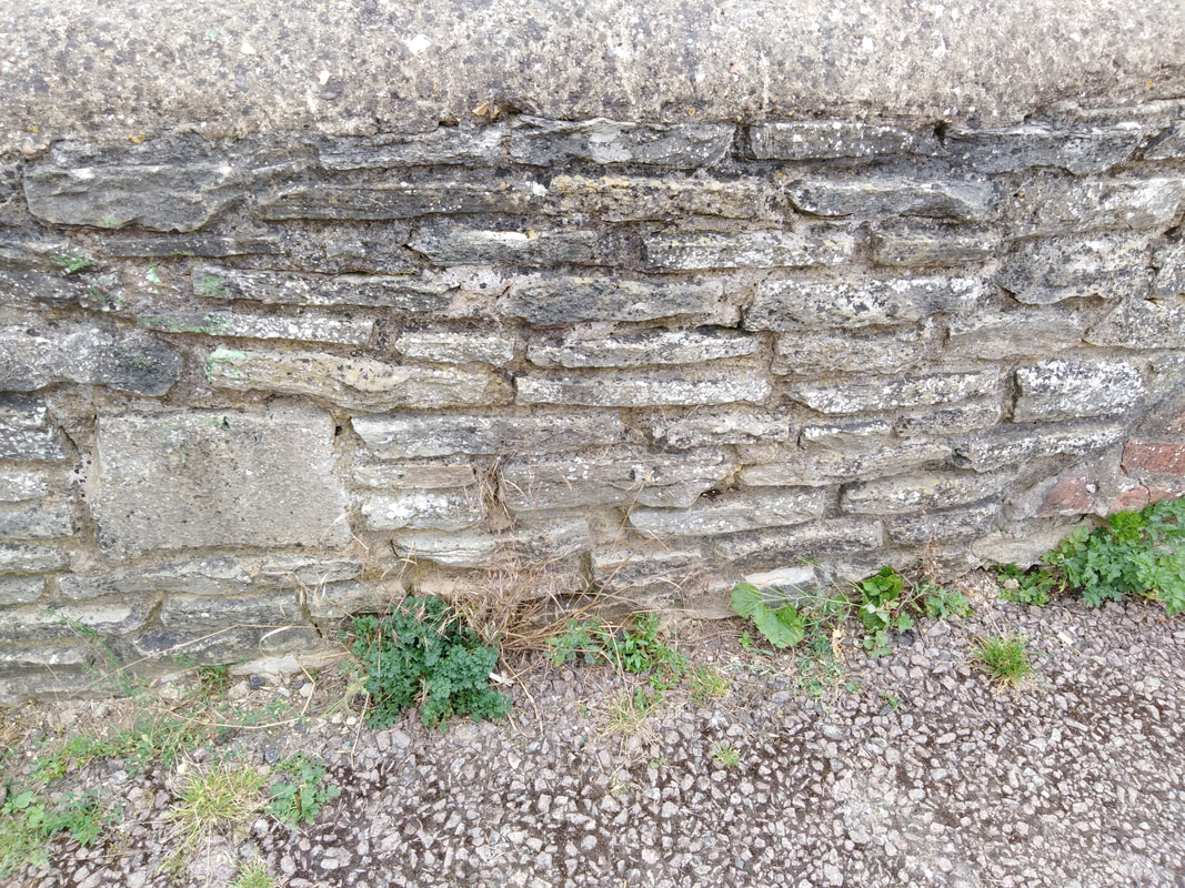
We now approach Bullers Bridge (No 227), another Brindley type bridge, this time built from locally sourced limestone.
The body of the bridge is made from undressed limestone rubble, but squared and dressed stone is used for the piers and coping. There is more recent repair to the upper part of the parapet and coping.
The body of the bridge is made from undressed limestone rubble, but squared and dressed stone is used for the piers and coping. There is more recent repair to the upper part of the parapet and coping.
Bridge 227: General view showing limestone rubble construction and modern repair.
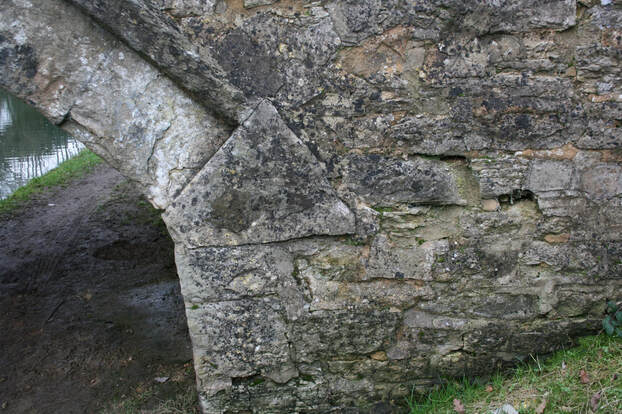
Bridge 227: Detail, showing the use of dressed stone for the arch and impost,
Bridge 227: Detail
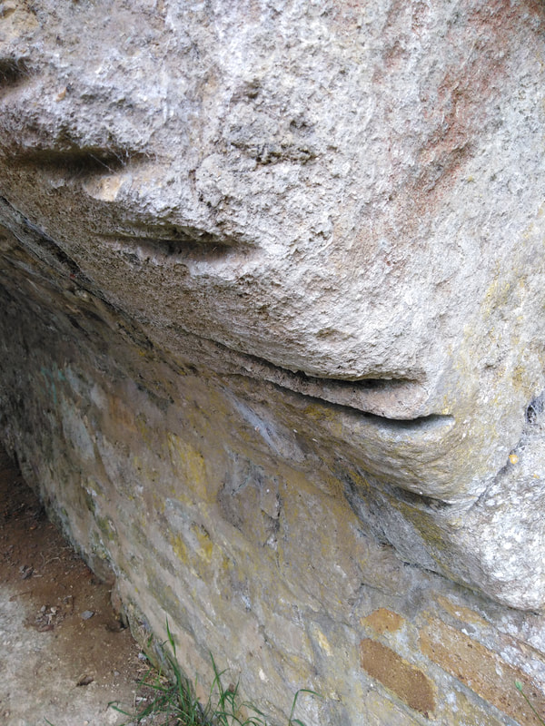
Rope wear marks on the inside of the arch support block (impost).
These are caused by the wet tow-rope, often laden with
sand or grit, rubbing on the stonework.
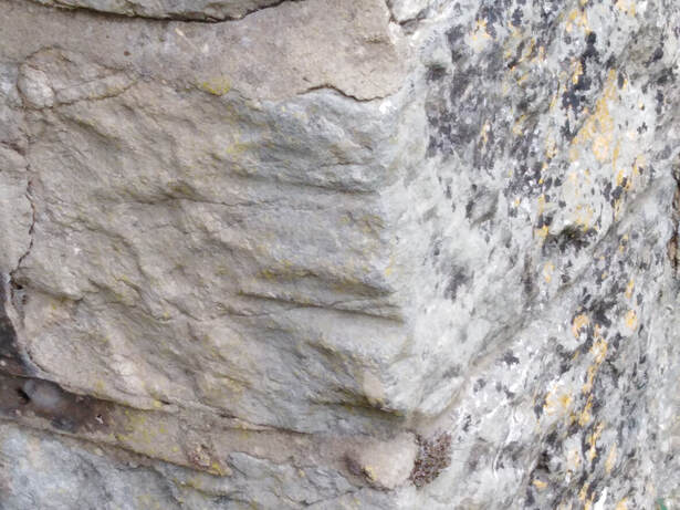
Bridge 227: Inside of parapet wall with a mix of coursed limestone rubble (undressed limestone in layers) and the occasional dressed block.
|
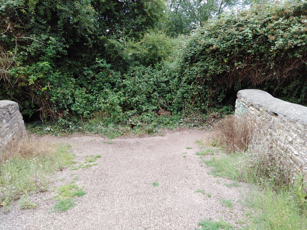
Bridge 227: The bridge now leads to a dense hedgerow. Originally this would have given access to the fields on the Yarnton side of the canal.
|
From Bullers bridge, it is only a short distance along the canal to the next crossing point at Yarnton Lane Bridge (No 228). Again, this is a typical "Brindley bridge" with a simple but robust form.
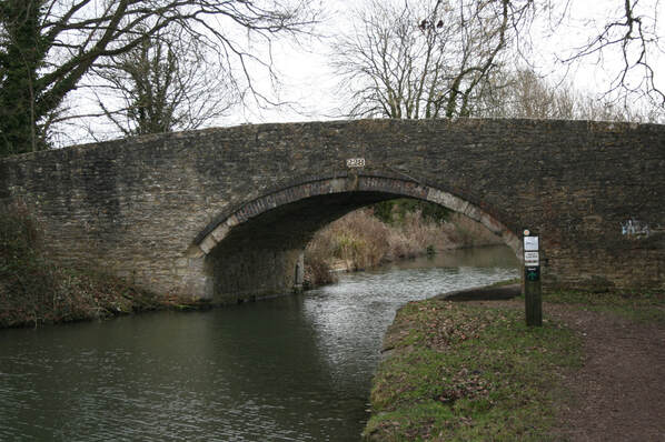
Bridge 228 from the north: Similar to bridge 227 this is a Grade II listed structure of mainly local limestone rubble with dressed stone used for the arch and piers.
There is some mid-19th century brick repair work to the central arch.
As with many original canal bridges that carry modern roads, the bridge width is essentially a single track-way and requires traffic light control.
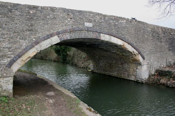
Bridge 228 from the south: The brick repair to the arch is clearly seen, as is the use of dressed stone for the original arch work and end supports.
On the far side of the canal, part of the quay edging can be seen.
Under the arch of the bridge, above the tow-path on the north side, are very prominent rope wear marks. Once these marks begin to be made, the passing tow rope tends to fall into them, and so a small number of deep grooves are formed.
On the far side of the canal, adjacent to bridge 228 is a small triangularly shaped wharf. The wharf has an unremarkable appearance when viewed from the tow path, with only some edging stonework visible. However, if it is viewed from the playing fields beyond (easily accessible by crossing the bridge), a number of interesting features are visible.
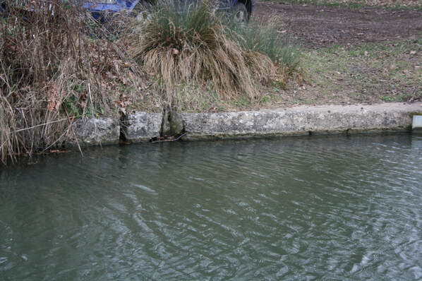
The quay edge stonework as seen from the tow path.
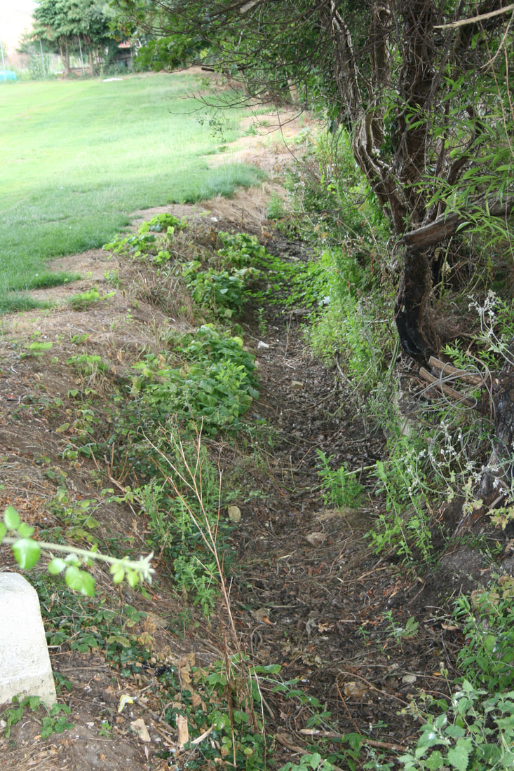
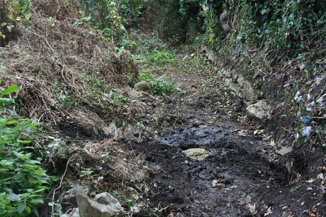
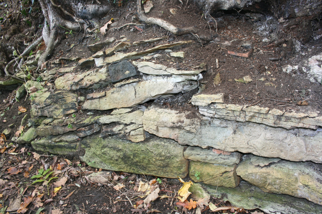
Landward side of wharf with partly Ditch after clearance showing original Detail of the surviving wall, constructed
infilled ditch (drain) before clearance. dry stone retaining wall. of local undressed limestone.
Such small local wharves may have been original and built during the construction of the canal. However, it is quite likely that they developed after the canal had been completed to service local demands for heavy goods (coal, stone etc.) and the movement of local products (mainly agricultural) to urban centres.
